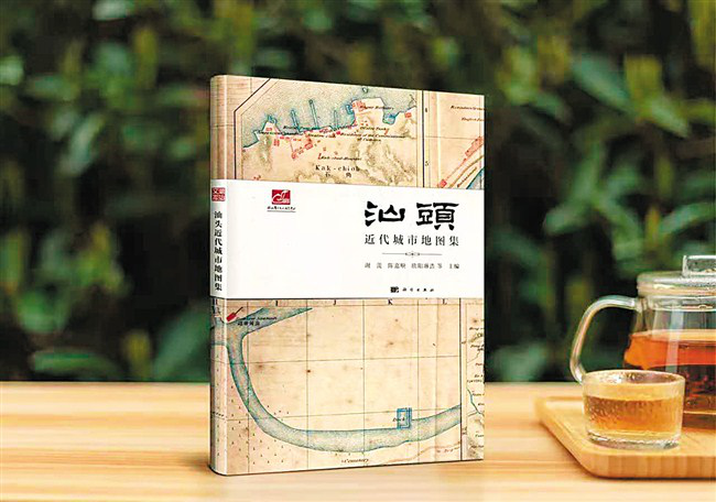
The "Modern Urban Atlas of Shantou" was first released at the "Shantou Port Opening and Urban Development" seminar a few days ago, filling the gap where there is no urban atlas of Shantou. This is of far-reaching significance for Shantou, as an earlier trading port in China, both in urban development practice and academic research.
"Modern Urban Atlas of Shantou" is edited by Xie Shi, Chen Jiashun, Ouyang Linhao and other experts and scholars engaged in historical geography, social and cultural history, and urban history. Thirty-eight most precious and representative territory maps and modern urban maps of Shantou were selected, starting in the 27th year of Emperor Qianlong in the Qing Dynasty (1762), and ending in 1948, fully reflecting the evolution of such maps and the historical changes of Shantou.
Source:Shantou Daily, Nov 26, 2020
《汕头近代城市地图集》首发
《汕头近代城市地图集》日前在“汕头开埠与城市发展”研讨会上首发,填补了汕头没有此类城市地图集的空白。这对于作为中国较早通商口岸的汕头,无论在城市发展实践还是学术研究方面都具有深远意义。
《汕头近代城市地图集》由谢湜、陈嘉顺、欧阳琳浩等从事历史地理学、社会文化史、城市史研究的专家学者主编,甄选了38幅汕头最珍贵、最具代表性的疆域图与近代城市地图,时间上起于清乾隆二十七年(1762年),下迄于1948年,全面反映了此类地图的演化脉络以及汕头的历史变迁。
来源:汕头日报2020-11-26